


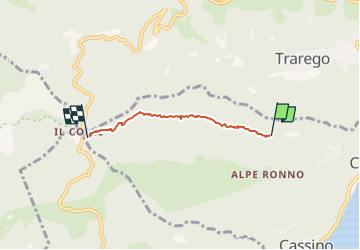

9,2 km | 26 km-effort


Tous les sentiers balisés d’Europe GUIDE+


Gratisgps-wandelapplicatie
 SityTrail
IGN / Geografische instituten
SityTrail World
De wereld gaat voor u open
Tocht Te voet van 3 km beschikbaar op Piëmont, Verbano-Cusio-Ossola, Cannero Riviera. Deze tocht wordt voorgesteld door SityTrail - itinéraires balisés pédestres.
Report maintained by path detectors CAI SOSEC Piemonte - MT
Symbol: white red flag
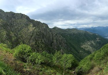
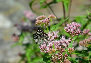
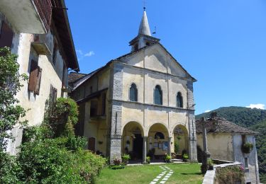
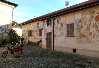
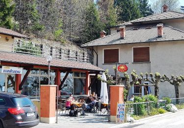
 - Colle - Photo 1")
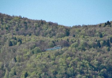
 - Colle - Photo 2")
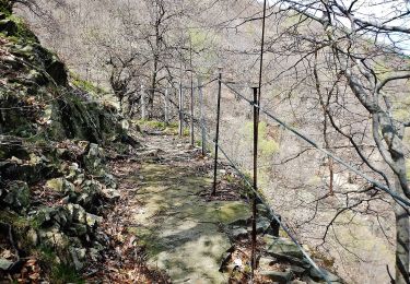
 - Colle - Photo 3")
Te voet
Te voet

Te voet
Te voet

Te voet
Te voet
Te voet
Te voet
Te voet